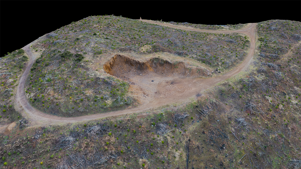
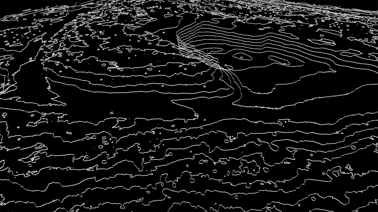
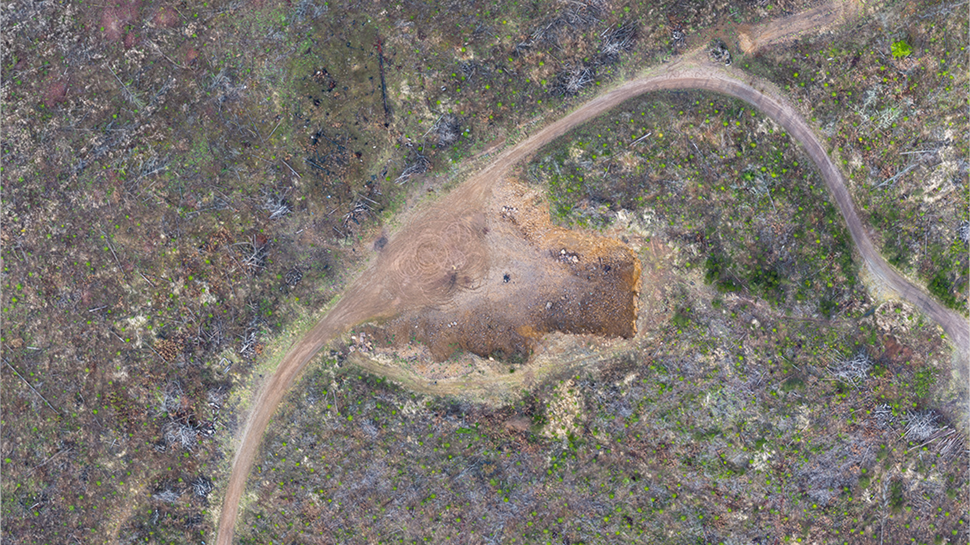
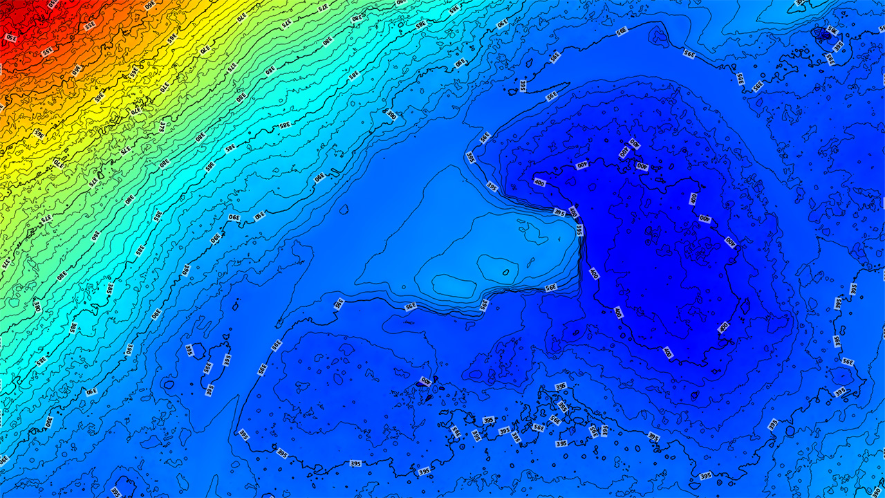
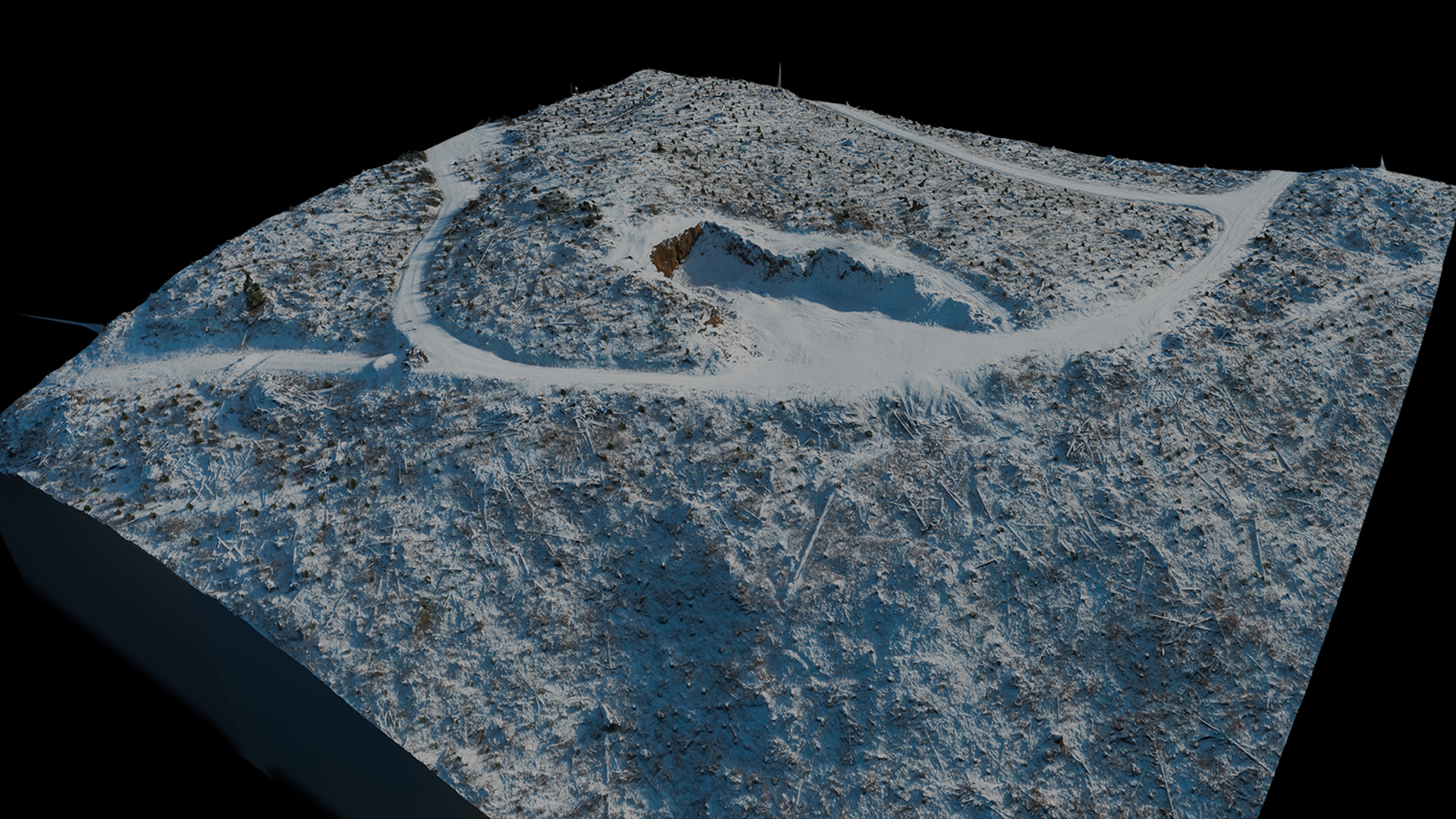
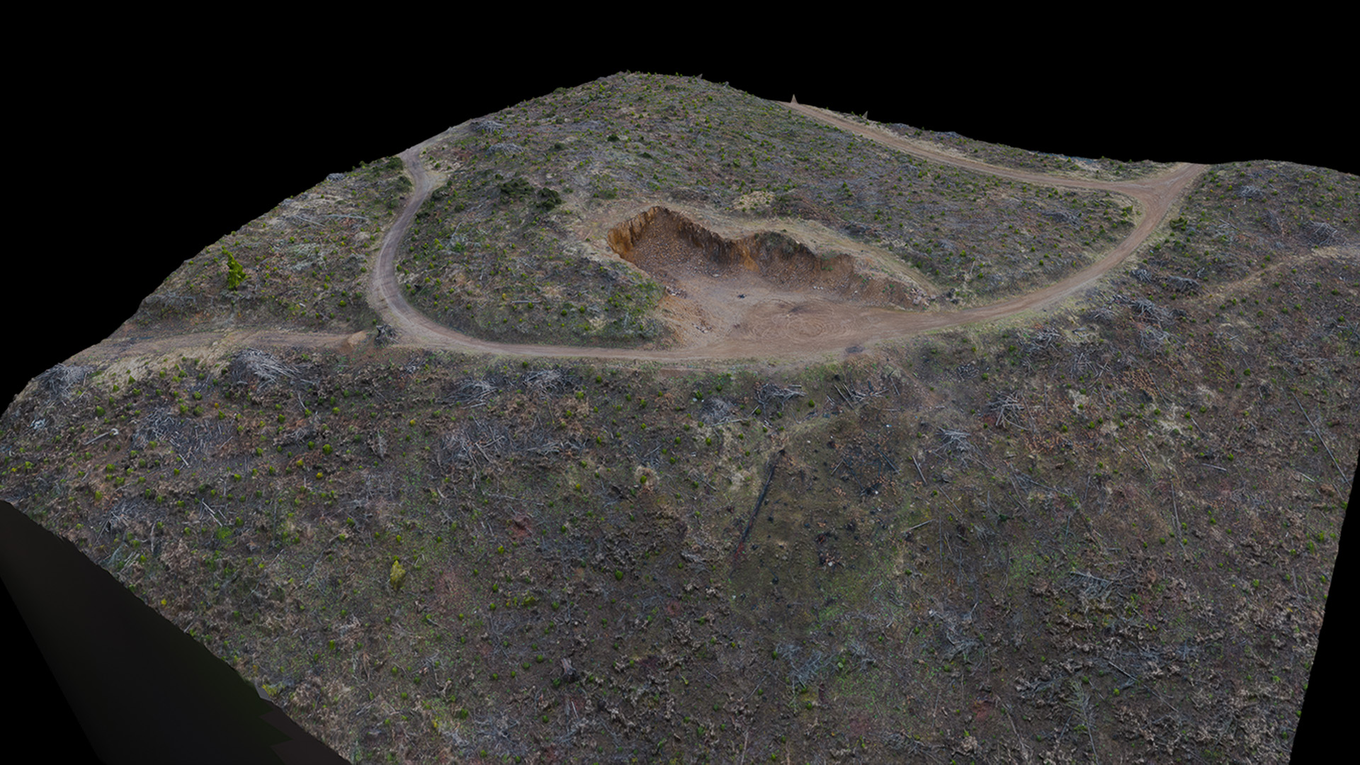
Comprehensive 3D Modeling, Precision Mapping, and Remote Project Updates
Experience complete, 360-degree site visualization with our advanced 3D models. Whether you’re examining intricate structures or navigating complex terrain, our models allow you to effortlessly explore your site from every perspective, ensuring you have the detailed insights you need to plan and execute your project with confidence.
Our Orthographic Maps provide a precisely scaled, map-like view from above. Featuring resolutions as high as 700 pixels per square foot, you'll see ever little detail of your site from above. If a licensed surveyor provides us with control points, you'll be able to easily estimate distances on your site without needing to waste time to travel in-person.
Monitor your site's progress remotely with our Project Updates. Regularly scheduled flights capture updated 3D models or orthographic maps, so you’re always informed of every development stage—even when you're off-site.
Reach out to us today to discuss your unique mapping requirements and discover how drone-based data can fuel your project’s success.
Get in Touch